|
In stock
|
Out of stock
|
||
|
|
|||
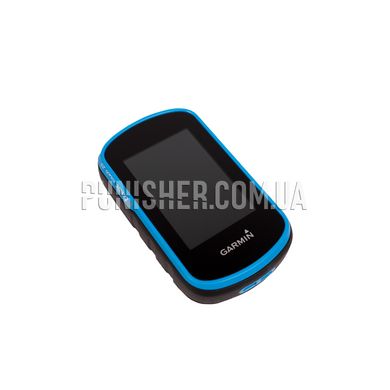
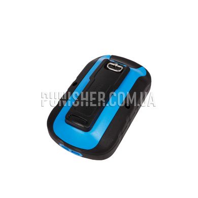
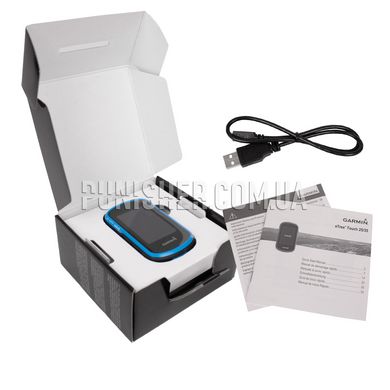
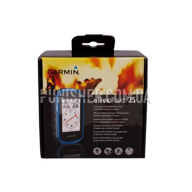
ETrex Touch 25 is a compact, rugged and reliable portable navigator. It features a 2.6-inch sunlight readable color touchscreen display for intuitive access to a rendered world basemap. The device is resistant to dust, dirt, high humidity and water, providing data display and tracking under all circumstances.
The navigator has a built-in 3-axis tilt-compensated electronic compass that provides accurate heading information even when stationary and parallel to the ground. The device can simultaneously support GPS and GLONASS navigation systems. When using the GLONASS navigation system, the calculation of the location is on average 20% faster, since in this case the GPS receiver has 24 additional satellites at its disposal.
ETrex Touch 25 is equipped with a microSD card slot and 4 GB of internal memory. This allows you to download TOPO 24K maps, Garmin HuntView for walking navigation, install BlueChart g2 with preloaded swim data, and get City Navigator NT data for in-car use.
You can plan your trips ahead of time using BaseCamp software, which lets you view and organize maps, waypoints, routes, and tracks. Share adventures with friends and family with Garmin Adventures features. BaseCamp displays topographic maps in 2-D or 3-D format with contour lines and elevation profiles. When used with BirdsEye Satellite Imaging, an unlimited imagery app is required on your device.
The device includes 250,000 geocaches pre-downloaded from geocaching.com. It stores and displays all basic information including location, terrain, difficulty level, hints and description.
Main characteristics:
Size: 5.8 x 10.2 x 3.3cm
Protection: Waterproof: IPX7
Display: 2.6 ”, 160 x 240 px, 3.6 x 5.5 cm, 65k colors, TFT
Battery: Removable lithium-ion (up to 16 hours of navigation) or 2 AA batteries
Memory: 4 gb
Memory card support: Micro SD (not included)
3-axis tilt-compensated compass
GPS and GLONASS support
Preset Maps: World Basemap
Route log: 10,000 marks, 200 routes
Calculation of the area covered by the perimeter
Time before sunset and sunrise and moon
Automatic route calculation


