|
In stock
|
Out of stock
|
||
|
|
|||
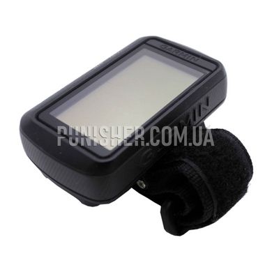
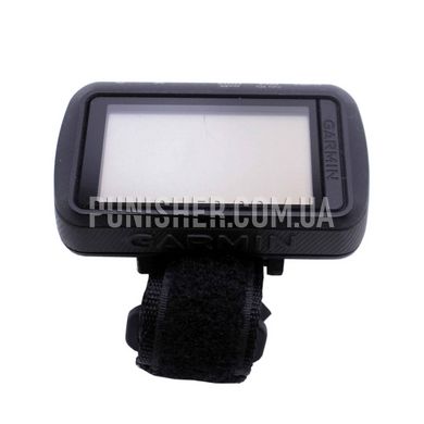
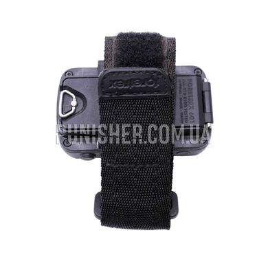
A hand-held GPS navigator designed according to military standards.
This device uses satellite systems GPS, GLONASS and GALILEO.
It is equipped with a 3-axis accelerometer, 3-axis compass and barometric altimeter so you can determine your direction even when stationary. The battery of the device provides more than 48 hours in navigation mode and up to 1 week in UltraTrac mode.
The main innovations of the navigator, in addition to increasing the operating time, updating the basic sensors (compass and barometric altimeter) and general appearance, include a new GPS antenna (GPS, GLONASS, Galileo), a new mode for working with night vision devices, adding compatibility with external sensors and cameras of the VIRB line, as well as the emergence of the possibility of synchronization with smartphones (exchange of navigation data, including LiveTrack mode, display of notifications). The built-in memory is capable of storing a basemap, up to 500 points of interest, at least 20 routes (100-200 points per route) and at least 10,000 points of recorded tracks.
Characteristics:
Dimensions 7.4 x 4.3 x 2.3 cm.
Macca with 88 gram batteries.
IPX7 waterproof
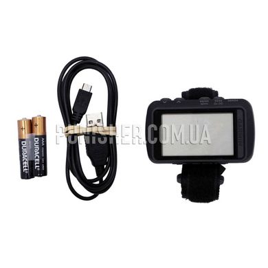
Power: 2 AAA batteries
Monoxide display with 2 '' diagonal, 128 x 200 dot resolution and 4 gray gradations.
USB interface.
Map routes 20.
Log Track 10000.
Interpeca 500 points.
A slot for a memory card.
Calculate the area.
Calendar of oxotes, fishing, sun and moon.
Garmin Connect for Chatting in a Cloud Service.
Compatibility with VIRB action cameras.
Calculation of speed, temp, pedal rotation frequency.
Duration to the point of destination.


