|
In stock
|
Out of stock
|
||
|
|
|||
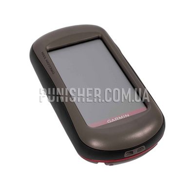
It combines robust navigation with a touchscreen and a 3.2 megapixel digital camera.
Add to this a highly sensitive GPS, barometric altimeter, 3-axis electronic compass and microSD slot.
A multipurpose device that will make your adventures even more memorable.
You can make photos and memorize location
Positioning and storing a 3.2 megapixel digital camera with a 4x Oregon 550t digital zoom.
Each photo will be automatically saved with the geotags of the place where it was taken, which will allow you to go back in the future.
Take and view photos in landscape or portrait orientation. With 850 MB of internal memory,
you will never miss the opportunity to take pictures.
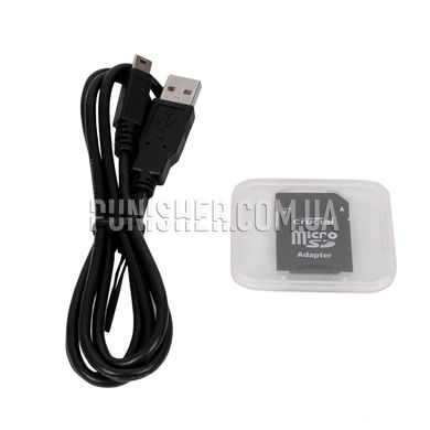
To save photos, simply plug in your Oregon 550t via USB and log in to my.
Garmin.com to upload and store photos in Picasa, as well as in popular online communities
for friends and family all over the world. To increase the amount of memory, insert a microSD card.
Convenient touch interface
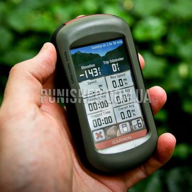
It has a robust 3-inch color touch screen that is perfectly readable in bright sunlight.
The interface is easy to use, so you will spend more time relaxing in nature and less time searching for information.
Durable and waterproof Oregon 550t created to resist the elements.
Hubbubs, dust, dirt and water are not terrible to this reliable navigator.
Determine your exact location
It has an integrated 3-axis tilt compensator for the electronic compass, which shows your course, even when you are standing still.
A barometric altimeter tracks pressure changes to accurately calculate altitude,
and you can use it to get a barometric pressure graph over time that helps you keep track of changes in weather conditions.
Thanks to the high sensitivity and support of WAAS, as well as HotFix functions to speed up the search for,
it quickly and accurately determines your location even in gorges and canyons.
Add cards
It comes preloaded with a basic world map with terrain relief.
Adding maps is easy - just insert a microSD card with a terrain map.
By adding routable maps you will be able to follow turn by turn to your destination.
Or add BlueChart g2 maps that provide all the necessary movement on the water, including depth, nautical signs and harbors.
Wireless communication
With this device you can share waypoints, tracks, routes and caches using
the wireless interface with other navigators in the Oregon and Colorado series.
Now you can send your favorite route to other users, or the location of the cache. Data exchange is easy.
Just click "Send" to send information to similar devices.
Specifications:
Dimensions of the device: 5.8x11.4x3.5 cm
Display size: 3.8x6.3 cm; 3 inches
Display resolution: 240x400
Display Type: Color TFT
Weight: 192.7g
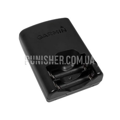
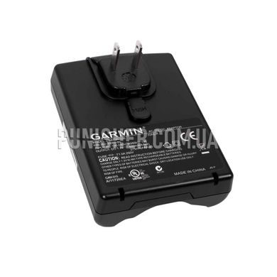
Battery: 2 AA NiMH
Battery life without recharging: Up to 16 hours
Water Resistant: Yes (IPX7)
Highly sensitive GPS receiver: Yes
Interface: USB and NMEA 0183
Base Card: Yes
Ability to add maps: Yes
Built-in memory: 850 MB
Memory card support: microSD
Travel points: 2000
Routes: 200
Route log: 10,000 waypoints; 200 saved routes
Automatic routing: Yes (with detailed road map)
Electronic compass: Yes (with 3-axis tilt compensation)
Touch Screen: Yes
Barometric altimeter: Yes
Camera: Yes (3.2 megapixel; autofocus; 4x digital zoom)
Geocaching-friendly: Yes
Photo navigation: Yes
Hunting/Fishing Calendar: Yes
Sun and Moon Information: Yes
Tide tables: Yes
Area calculation: Yes
Custom POIs: Yes
Self-installation of POIs: Yes
Wireless communication between devices: Yes
Image Viewer: Yes
Garmin Connect: Yes


