|
In stock
|
Out of stock
|
||
|
|
|||
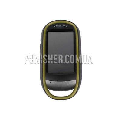
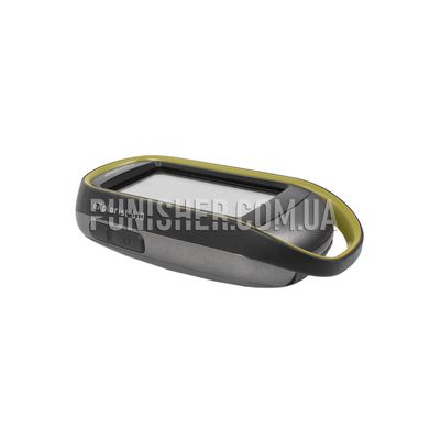
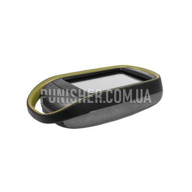
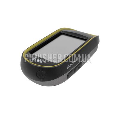
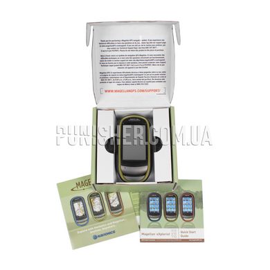
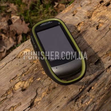
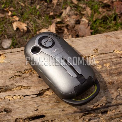
The Magellan eXplorist 610 GPS case is robust and waterproof, complies with the IPX-7 protection standard.
The distinctive features of the navigator are the following:
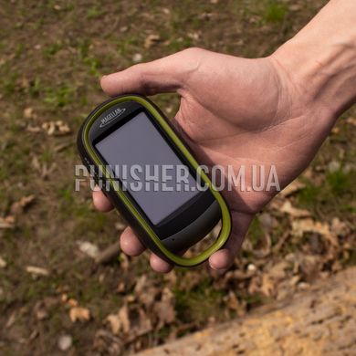
- the equipment with a highly sensitive GPS receiver, - great navigation capabilities and big touch screen.
The navigator will accurately determine your location even with the weakest signal level from the satellite.
An indicator is placed on the screen that will inform you about the need to calibrate the compass.
You can calibrate yourself by following the prompts displayed on the navigator screen,
and the barometric altimeter will provide accurate information about the height and allow you to track weather changes.
The Magellan eXplorist 610 GPS will flawlessly create waypoints, tracks and routes,
and the built-in 3.2 megapixel camera and microphone help you create geo-referenced notes for images and voice comments.
The navigator comes with the World Edition Map pre-installed, with which you can view objects in both 2D and 3D format.
The map contains complete information about the road network in Europe, the United States,
Canada, and Australia, as well as major roads and cartographic reference points almost anywhere in the world.
It also includes: water bodies, human settlements, as well as realistic relief display.
Magellan eXplorist 610 GPS model has additional possibility of address search by city,
search for waypoints and the function of returning to the previous location.
The navigator contains detailed topographic maps based on materials of the 1:24,000 scale,
including the outlines and boundaries of land tenure, roads, rivers, and some landmarks.
Fans of geocaching will be able to download more than 20 unique characteristics of each cache
from the official website geocaching.com: location, description,
size of the cache, complexity and terrain, and view them directly through the device.


