In forests and mountains, during hiking trips or military missions, it is important not only to know where to go but also to determine direction without familiar landmarks. A smartphone may run out of battery, GPS navigation may lose its signal, and familiar terrain can become unrecognizable in fog or darkness. In such conditions, an ordinary compass remains a simple and reliable navigation tool.
However, having a compass doesn't guarantee you will follow the right route. You need to understand how the magnetic needle works, how hiking and military models differ, how to determine an azimuth, and which mistakes to avoid when navigating.
In this guide from the Punisher military store, we will explain what a compass is, how it has changed throughout history, what types are available today, and how to use the instrument in practice. We will also explain when a smartphone is enough, when it is better to carry a separate compass, and what to look for when choosing one.

What Is a Compass and How Does It Work?
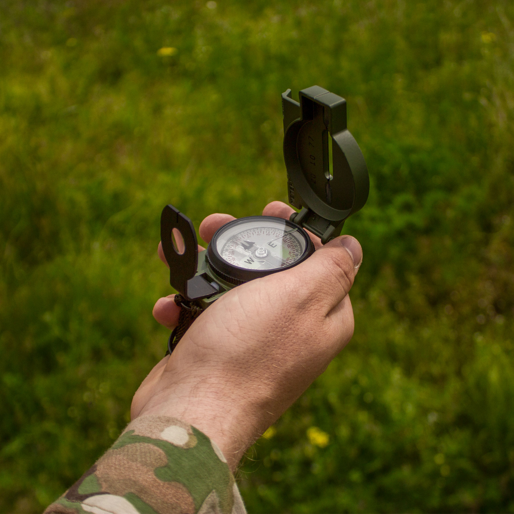
A compass is a navigation instrument used to determine directions relative to Earth's magnetic field. The best-known type has a magnetized needle that, once stabilized, aligns itself along the field lines of Earth's magnetic field. One end of the needle points approximately toward magnetic north, allowing you to determine the other cardinal directions.
The main advantage of a classic magnetic compass is that it does not need a battery, mobile connectivity, or a satellite signal to work. At the same time, the instrument has its own limitations: its readings can be affected by magnetic interference, terrain features, and the difference between magnetic north and geographic north.
How a Magnetic Compass Works
Earth has its own magnetic field, which interacts with the magnetized needle. When the needle can rotate freely, it tends to align itself with this field. Directions on a compass scale are usually marked with letters or degrees.
A full circle is 360°. North corresponds to an azimuth of 0° or 360°, east to 90°, south to 180°, and west to 270°. Intermediate directions lie between the cardinal points: for example, northeast corresponds to 45°, while southwest corresponds to 225°.
It is important to remember that the needle does not point directly toward the geographic North Pole. It responds to Earth's magnetic field, so its readings must be interpreted correctly.
Magnetic North and Geographic North: What Is the Difference?
Geographic north is the direction toward the geographic North Pole, through which Earth's axis of rotation passes. Geographic maps and coordinate grids are oriented toward this pole.
Magnetic north is the direction indicated by a compass's magnetic needle. It is associated with Earth's magnetic field, and the magnetic pole does not coincide with the geographic pole and changes its position over time.
The angle between the directions to geographic north and magnetic north is called magnetic declination. Its value depends on the location and date. On a short route, the difference may seem insignificant under some conditions, but during extended travel along a set azimuth, even a small error can gradually lead you away from the intended direction.
When working with a map, refer to its magnetic declination marking and the rules for converting directions. Do not use a single value for every location: it may be inaccurate for another region or outdated.
What Can Affect a Compass Reading?
The most common cause of incorrect readings is magnetic interference. Metal objects, magnets, electrical equipment, vehicles, and some gear components can affect the needle. Therefore, do not check a direction while holding the compass directly next to a phone, metal fittings, a weapon, or other equipment that may generate a magnetic field.
It is also important to hold the instrument in the correct position. If a model is designed for horizontal use, tilting its body may prevent the needle from rotating freely. With liquid-filled compasses, you need to wait for the needle to stabilize after movement.
Magnetic declination and local terrain are equally important considerations. If the readings do not agree with the map and obvious landmarks, do not immediately conclude that the compass is faulty: first, check the measurement conditions.

How Navigation Tools Have Evolved: From Ancient Times to GPS
The need to determine direction arose long before modern maps and satellite systems existed. Travelers navigated by the Sun, stars, distinctive terrain features, and natural signs. These methods worked under favorable conditions but became less reliable in cloudy weather, at night, or in unfamiliar areas without clear landmarks.
The magnetic compass was an important step in the development of navigation: it made it possible to determine direction regardless of whether celestial bodies were visible. Over time, compass designs were improved for maritime navigation, cartography, surveying, tourism, and military use.
From Early Compasses to Maritime Navigation
The magnetic properties of natural minerals, particularly magnetite, have been known to humankind since ancient times. People eventually learned to use magnetized elements to determine direction. The compass became especially important for sailors because there are often no land-based landmarks on the open sea, and clouds can obscure the sky.
As navigation developed, the instruments themselves changed. More convenient scales, designs that provided more stable directional readings, and devices combining several functions appeared. Over time, compasses came to be used not only aboard ships but also during land expeditions and military operations.
The collection of the Science Museum Group in London includes a pocket compass combined with a sundial. It was made by the craftsman Henry Sutton around 1650-1665. The instrument helped a traveler determine both direction and time using a single compact tool. If the needle lost its magnetization, it could be remagnetized by touching it with a natural magnet – magnetite.
From Mechanical Navigation to Satellite Systems
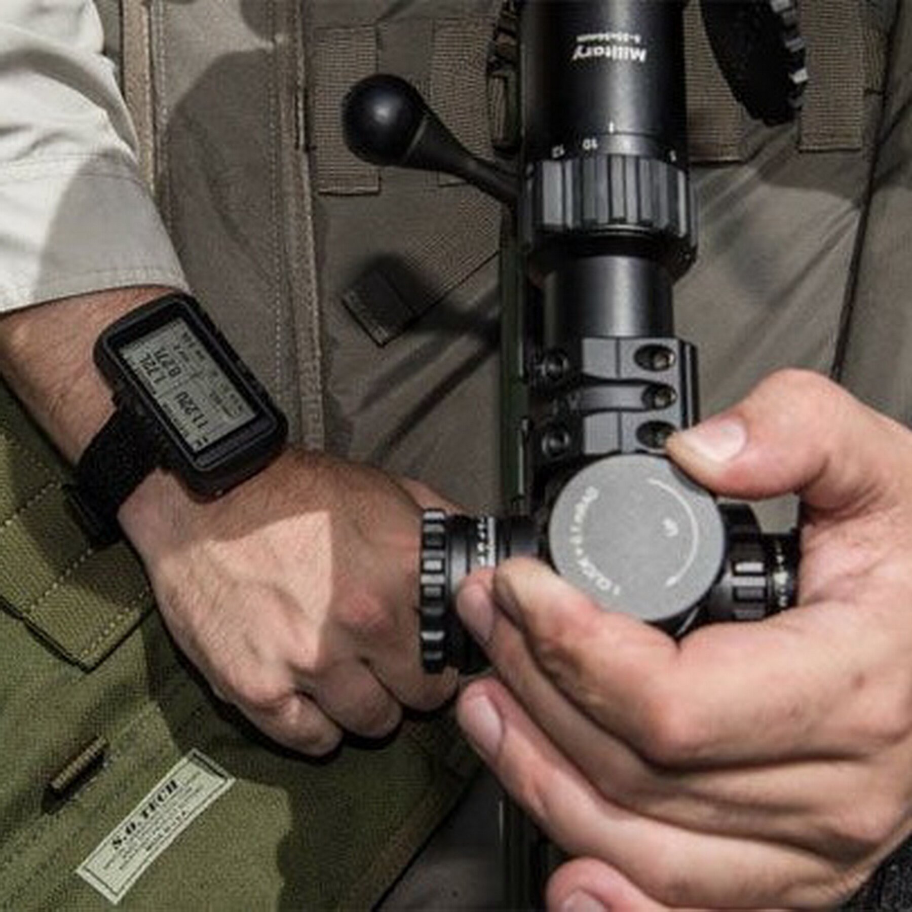
In the 20th century, compasses became just one element of navigation equipment. They were supplemented by detailed maps, radio navigation systems, electronic instruments, and satellite technologies.
For example, the GPS determines a receiver's location using signals from satellites. According to GPS.gov, GPS satellites orbit at an altitude of approximately 20,200 km above Earth and complete about two revolutions around the planet per day. The system's baseline configuration provides for 24 orbital slots, although more satellites are usually operating in orbit.
Unlike a compass, GPS can determine coordinates, speed, and route. However, determining a position requires a receiver capable of processing satellite signals, and performance depends on reception conditions and other factors. Modern navigation does not necessarily mean abandoning traditional instruments: a compass and map remain useful backups when electronic devices are unavailable or unreliable.

What Types of Compasses Are There, and How Do They Differ?
A compass should be chosen based on more than size or price. Walking around a city, going on a multi-day hike, and military use require different features. Some models are convenient for working with maps, others are designed for more precise sighting on an object, while others allow users to read directions quickly in more challenging conditions.
Classic Magnetic Compass
This is a basic design consisting of a needle and a directional scale. It is suitable for general navigation, learning navigation skills, and use as a backup instrument.
Its advantages are simplicity, independence from external power, and no need for a battery. Disadvantages depend on the specific model: a small scale may be harder to read, and a simple body is not always convenient for map work or precise azimuth determination.
Hiking Compass with a Baseplate and Liquid-Filled Capsule
Hiking models often feature a transparent baseplate, map scales, orienting lines, and a rotating capsule with a degree scale. In these designs, a special liquid helps reduce needle oscillation, allowing it to stabilize more quickly.
This type of compass is convenient for determining azimuths, plotting routes on maps, and checking direction while moving. The transparent baseplate lets you see map markings beneath the instrument, while the scale helps you measure distances according to the map's scale.
Mirror Compass
Mirror models combine a sighting element with the ability to see the scale while aiming at a landmark. This helps you determine the direction to a distant object more precisely without constantly shifting your gaze between the object and the scale.
These compasses can be useful for hikers, orienteers, and anyone who needs to maintain a set direction more precisely. However, they require practice: incorrect aiming or reading the scale can negate the design's advantages.
Military Compass
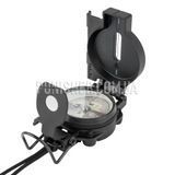
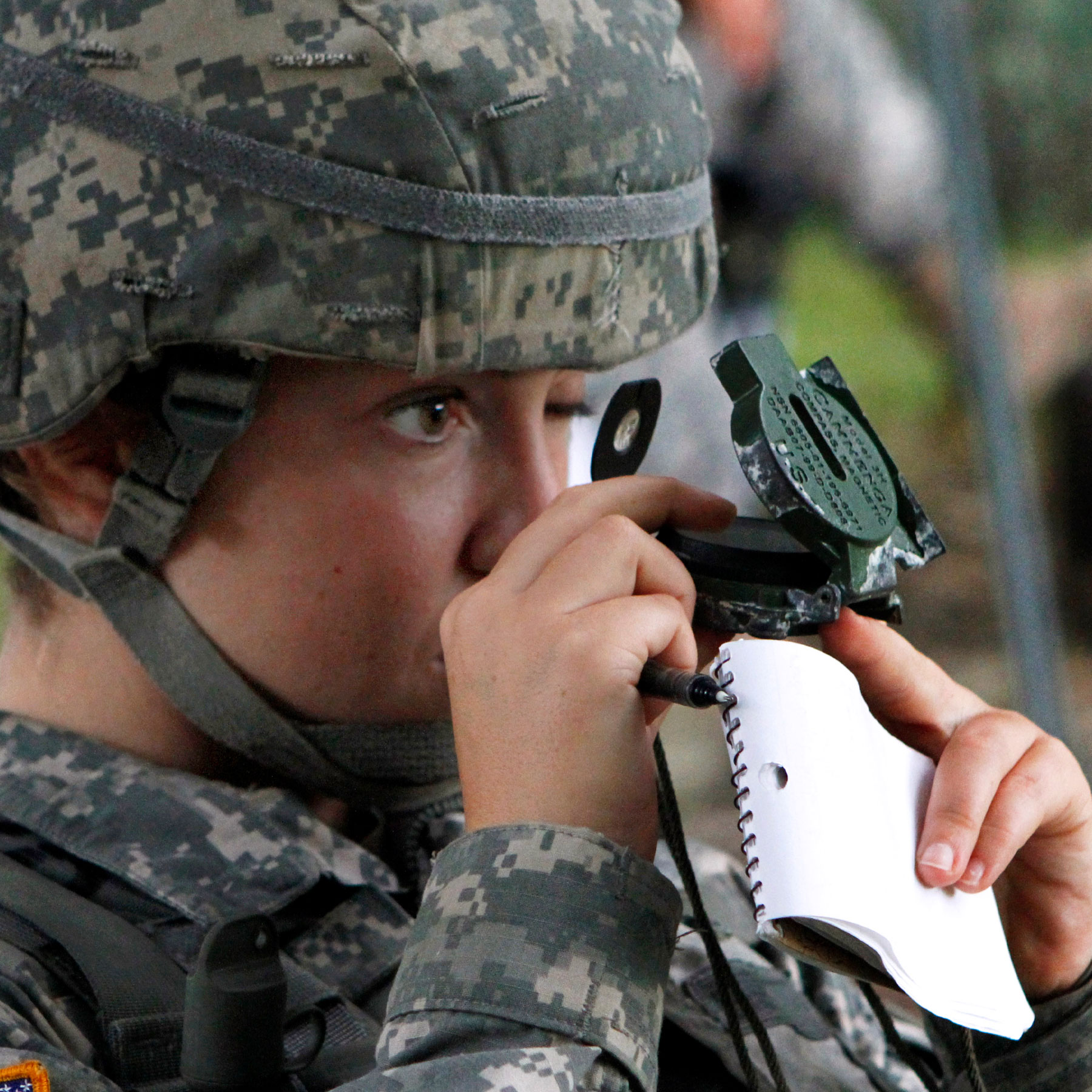
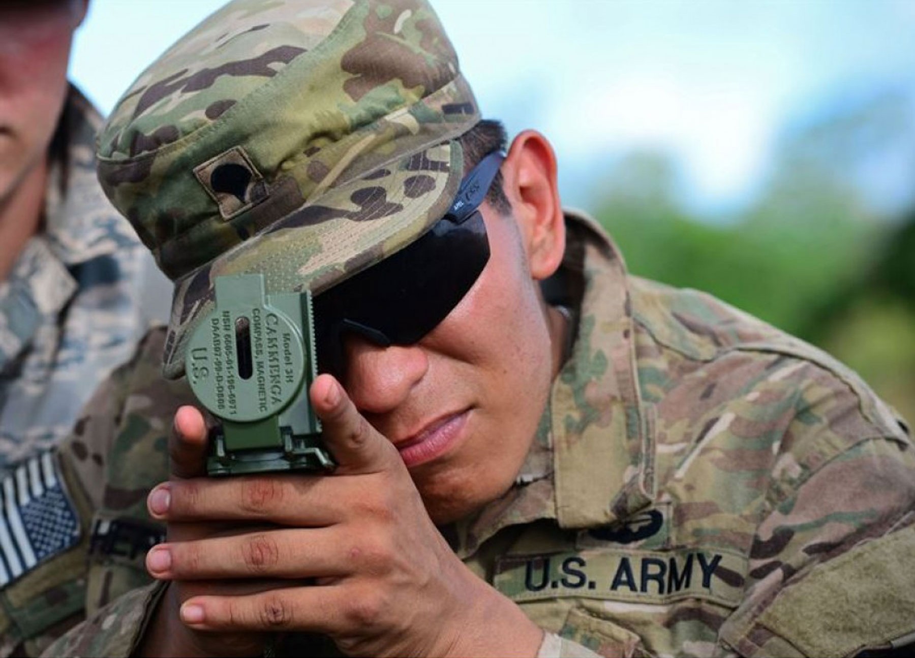
A military compass is designed for field use, where speed, scale readability, durability, and the ability to determine direction using a map and local landmarks are important. This category includes various designs, such as lensatic compasses, which allow readings to be viewed through a special optical element.
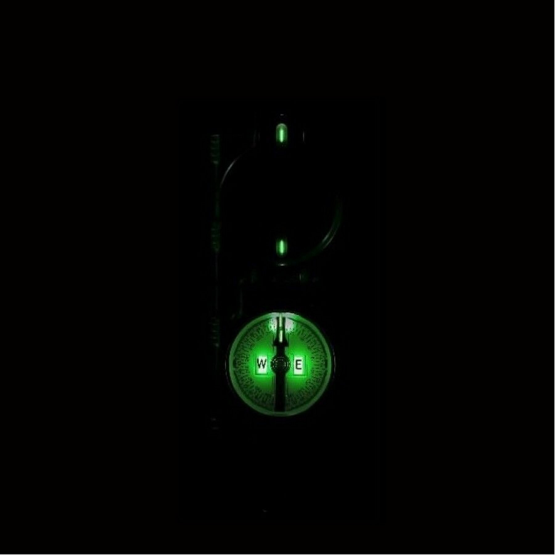
Depending on the model, a military compass may feature sighting devices, luminous markings for use in low light, a durable body, and a scale adapted to navigation tasks. However, a compass labeled “military” is not automatically more accurate than a hiking model: it is important to assess the specific design, build quality, and ease of use.
When working with a map, it is particularly important that the compass uses the required measurement system and allows you to read azimuths clearly. If you lack experience, practice with the instrument in safe conditions beforehand.
Digital Compass
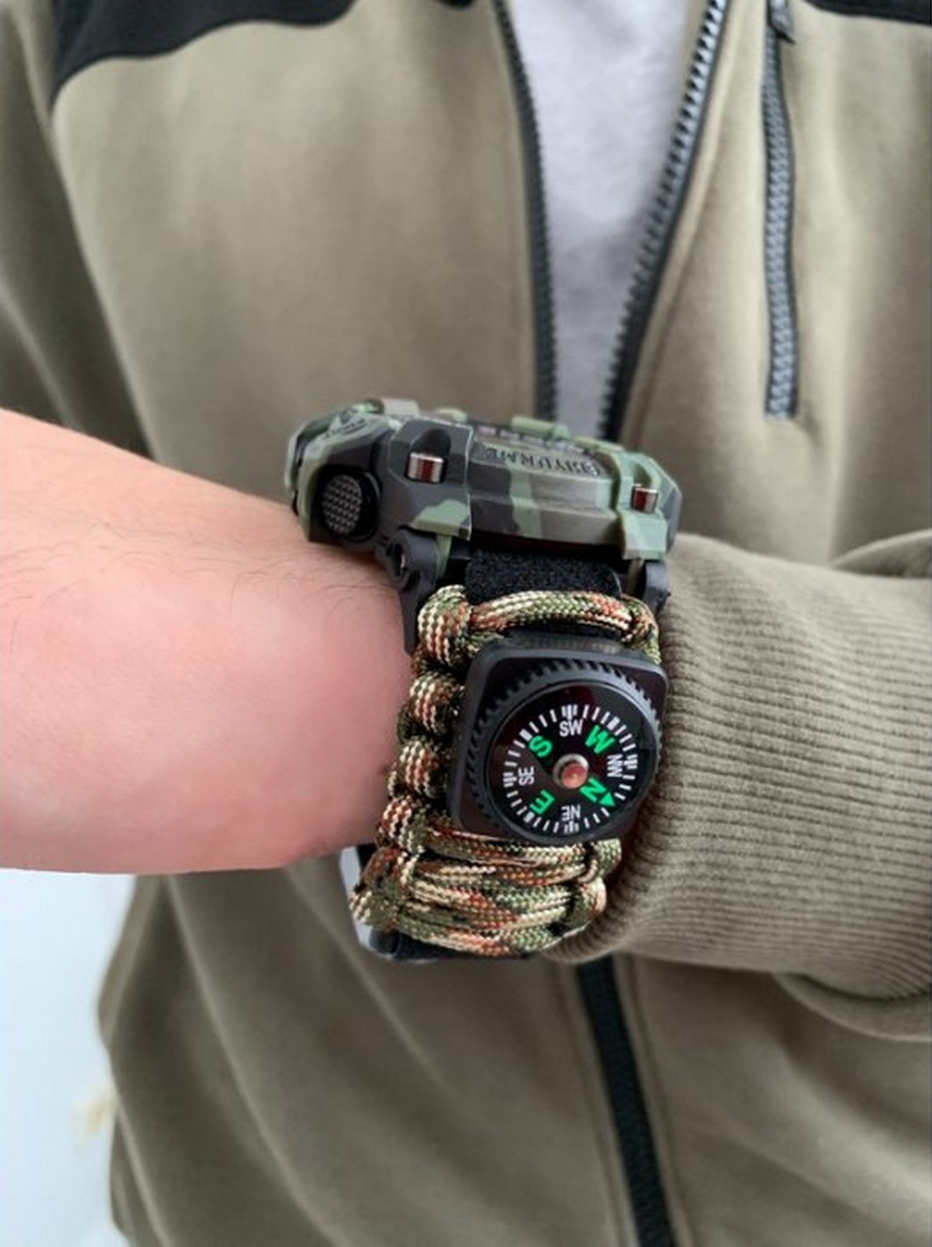
A digital compass determines direction using electronic sensors. It may be built into a smartphone, sports watch, or dedicated navigation device. Instead of a moving needle, the user sees the direction displayed on a screen.
Digital models can be convenient because they integrate with maps, coordinates, and other navigation functions. At the same time, readings can be affected by calibration, metal objects, magnetic interference, and sensor quality. Battery life also depends on the device's power supply.

How to Use a Compass: Step-by-Step Instructions
You can learn to use a compass in a few basic steps. The key is not to confuse determining the cardinal directions with traveling along a set azimuth. In the first case, you need to identify north, south, east, and west. In the second, you need to maintain a specific direction, such as 135° or 270°.
Step 1. Hold the Compass Correctly
Place the compass horizontally unless the instructions for your particular model specify a different position. Make sure the needle can move freely and that there are no nearby objects that could distort the readings.
Wait for the needle to stabilize. On simple models, it may oscillate, so do not read the direction while it is still moving. If the compass gives a suspicious reading, move away from metal objects and electronic devices and repeat the measurement.
Step 2. Determine the Cardinal Directions
Once the needle has stabilized, find the north marking on the scale. Depending on the design, the north end of the needle may be indicated by a color, a letter, or another mark. Once north is identified, determining the other directions is straightforward:
-
North (N) – 0° or 360°;
-
Northeast (NE) – 45°;
-
East (E) – 90°;
-
Southeast (SE) – 135°;
-
South (S) – 180°;
-
Southwest (SW) – 225°;
-
West (W) – 270°;
-
Northwest (NW) – 315°.
These values correspond to the standard azimuth degree scale, where measurement proceeds clockwise from north. They help you determine direction quickly, but for accurate travel along a route, you must also account for magnetic declination and local terrain.
Step 3. Determine the Azimuth
An azimuth is the horizontal angle between the direction to north and the direction to a selected object, measured clockwise from 0° to 360°.
For example, if you need to travel east, the azimuth is 90°. For a southwest direction, it is 225°. In practice, intermediate values describe a direction more precisely than verbal landmarks such as “slightly to the right of south”.
To determine the azimuth to an object, aim the compass at it according to the instrument's design and read the value from the scale. For models with a mirror or sighting device, follow the manufacturer's instructions. When working with a map, orient the map correctly first, then determine the direction to the required point.
Step 4. Travel Along the Set Azimuth
After determining the azimuth, find a noticeable landmark ahead that lies in the required direction: a tree, the edge of a clearing, a separate structure, or another clearly visible object. Move toward it, then check the direction again and select the next landmark.
This method is more convenient than trying to look at the compass continuously while walking. It also reduces the risk of gradually deviating from the route because of uneven terrain or detours around obstacles.
Even a small angular error can have a noticeable effect over distance. If the direction deviates by 1°, the cross-track error over a distance of 1 km will be approximately 17 m. With a deviation of 5°, it will reach approximately 87 m. This is a geometric example, not a measure of the compass's own accuracy: the actual result depends on measurement conditions and how accurately a person maintains the direction.
Step 5. Use the Compass Together with a Map
A compass is particularly useful when combined with a topographic map. First, orient the map according to the direction of north, then compare it with local landmarks such as roads, rivers, elevations, intersections, and other features.
If you need to reach a specific point, determine the direction on the map and transfer it to the compass according to the instructions for your model. Remember the difference between geographic north and magnetic north: if the route requires a precise azimuth, account for magnetic declination.
While moving, regularly compare the map with the actual terrain. A compass helps you maintain direction, but on its own it does not show your exact location, determine whether a route is safe, or warn you about obstacles ahead.
Rules for Using a Compass: Common Mistakes
Even a high-quality compass cannot compensate for user error. Incorrect positioning of the instrument, magnetic interference, or ignoring declination can cause significant deviation from the route.
Do Not Hold the Compass Near Metal or Electronics
Metal objects with magnetic properties, magnetic clasps, speakers, certain electronic devices, and other sources of magnetic fields can affect the needle or sensor. If readings change depending on the compass's position, try moving away from your gear or equipment and repeat the measurement.
Do not assume that every metal object has the same effect: the result depends on the material, its position, and the strength of the magnetic field. The practical rule is simple – keep the compass away from potential sources of interference before taking a reading.
Do Not Read the Compass While the Needle Is Moving
If the needle is still oscillating, the result may be inaccurate. Let it stabilize and check that the instrument is in the correct position. This is especially important when working on uneven surfaces or with models that are sensitive to tilt.
If you are using a liquid-filled compass, do not conclude the needle's brief movement immediately after turning the body. Wait until it settles.
Do Not Ignore Magnetic Declination
If a route is plotted on a map oriented to geographic north while the direction is read using a magnetic compass, the difference between these directions can affect the result. The declination value must correspond to the relevant location and be applied according to the rules specified on the map or in the navigation manual.
In 1831, British explorer James Clark Ross determined the position of the North Magnetic Pole in northern Canada. Since then, the magnetic pole has shifted, and its position continues to be tracked through measurements and geomagnetic models. This is why magnetic declination is not a constant value that can be memorized once and used for every route.
Check Your Direction Using Several Landmarks
If the compass readings do not agree with the map or the terrain, do not continue moving at random. Check the instrument, move away from possible sources of interference, repeat the measurement, and compare the result with known landmarks.
Do not rely exclusively on approximate natural signs, such as the location of moss on trees or the shape of the tree crown. Such observations are not a reliable substitute for a compass and map. If you are unsure, it is better to stop and confirm your position than to continue moving with an unknown deviation.
A Compass on Your Phone and GPS: Can They Replace a Traditional Instrument?
Smartphones and navigation devices have made navigation more accessible. A single screen can display a map, coordinates, direction of travel, and other data. However, digital tools work differently from a traditional magnetic compass and have their own limitations.
How to Use a Compass on Your Phone
Many smartphones have a built-in magnetometer that helps determine direction. A suitable app may be required to use the compass, and on some models the availability and accuracy of the function depend on the hardware.
To check your direction, open the compass on your device and follow the calibration instructions. If the app asks you to move the phone slowly through space, do so. During measurement, keep the device away from magnets and metal objects.
A phone compass is convenient for everyday tasks, but you should not automatically assume it is accurate just because the readings are displayed digitally. Magnetic interference affects electronic sensors as well. In addition, a smartphone has a battery that may run out precisely when navigation is most important.
Compass and GPS: What Is the Difference?
A compass shows direction relative to Earth's magnetic field. GPS determines a receiver's location using satellite signals, and a navigation app can use coordinates to plot a route.
GPS helps you understand where you are, while a compass helps you determine which direction to travel. These are different but complementary functions. Some GPS devices have a built-in magnetic compass; others determine the direction of travel from changes in coordinates as the user moves.
Understanding this difference is important for navigation. If you remain stationary, a GPS receiver may not be able to determine your direction of travel from changes in coordinates alone. A magnetic compass can indicate direction even when you are not moving, but it cannot determine your coordinates or the distance to a specific point.
When Can Electronic Navigation Let You Down?
A smartphone or GPS navigator may lose power, become damaged, overheat, or operate unreliably because of signal reception conditions. Tall buildings, dense vegetation, terrain, and other obstacles can make satellite signal reception more difficult. Access to online maps also depends on network availability, although some apps allow you to download maps in advance for offline use.
A traditional compass does not depend on a mobile network or battery, but it is not a universal solution either: its readings can be distorted by magnetic interference, and confident navigation requires skills and a map.
For hikes and field tasks, it is sensible to have a backup navigation method. If a smartphone or GPS device is your primary tool, a traditional compass and paper map will help preserve your ability to navigate when electronic devices are unavailable.
How to Choose a Compass for Hiking and Military Tasks
When choosing a compass, start with how you intend to use it. A simple model may be sufficient for easy walks and basic navigation. For multi-day hikes, work with topographic maps, or field use, scale readability, ease of determining azimuths, body durability, and predictable performance in different conditions become more important.
Which Compass Should You Choose for Hiking?
A compass with a transparent baseplate, rotating capsule, and degree scale is often chosen for hiking routes. This design is convenient for working with a map, determining the direction to a checkpoint, and checking a route.
Pay attention to the following characteristics:
-
Scale readability. Markings should be clear, large enough, and easy to understand under different lighting conditions.
-
Ease of map use. A transparent baseplate, orienting lines, and scale markings make it easier to determine azimuths and measure distances according to the map scale.
-
Needle stability. The needle should move freely and stabilize quickly under normal conditions of use.
-
Size and weight. A compact instrument is easier to carry, but a scale that is too small may be difficult to read.
-
Body quality. Resistance to wear and the reliability of moving components are important for active use.
-
Clear instructions. This is especially important if you are just learning to use a compass.
For a hiker, the most important factor is not the maximum number of features but whether the instrument suits the routes and the user's skill level. Even a simple model will be useful if the user knows how to determine azimuths, read a map, and check direction.
What Should You Look for When Choosing a Military Compass?
For military use, important features include reading speed, durability, ease of use while wearing gloves, and the ability to determine direction in challenging field conditions. In some situations, a sighting mechanism, a lens system for reading the scale, and markings that are clearly visible in low light can be useful.
Before purchasing, check:
-
whether the degree scale is clear and sufficiently precise;
-
whether it is convenient to determine azimuths and work with a map;
-
whether the design suits the conditions in which the instrument will be used;
-
whether the moving components and capsule are protected against damage;
-
whether readings can be taken quickly while wearing gloves;
-
whether the manufacturer's instructions and clear maintenance recommendations are available.
Do not choose an instrument based only on its name or appearance. The label “tactical” or “military” does not, by itself, confirm accuracy, reliability, or suitability for specific requirements. Design, material quality, functionality, and practical experience all matter.
How to Make the Final Choice
If you need a compass for easy hikes, simplicity and ease of map use may be the priorities. For long routes and field use, consider models with a clear scale, a stable needle, a durable body, and features that are genuinely useful for the task.
Before setting out, practice determining the cardinal directions, azimuth, and direction of travel. Check how the compass works near your gear and learn how to use it with a map. This is more important than the number of extra features, because navigation reliability depends not only on the instrument but also on the user's ability to operate it.
A compass remains a relevant navigation tool thanks to its simplicity, independence from external power, and ability to determine direction without a satellite signal or mobile connectivity. At the same time, confident navigation requires understanding the difference between magnetic and geographic north, knowing how to determine an azimuth, and being able to work with a map.
A hiking compass with a transparent baseplate is convenient for plotting routes, while military models may have design features required for field conditions. When choosing an instrument, evaluate it not by its name but by the characteristics that suit your tasks.
And most importantly, even the best compass requires practice. Learn to read its indications correctly, check your direction, and use a map before you find yourself in a situation where a navigation error could be costly.

Igor Ivandikov — author of the article
Project Manager
Has over 3 years of experience working in the field of camping equipment. Well-versed in products for tourism, camping, and outdoor recreation.
Responsible for coordinating projects, monitoring deadlines, and ensuring the quality of task completion.
He enjoys football (soccer) and billiards, participates in competitions, and has won prizes on numerous occasions. He is a fan of active recreation.
FAQ: Frequently Asked Questions About Compasses
1. How do you use a compass in the forest?
2. Does a compass work without a battery?
3. Can you use a compass in cloudy weather?
4. Does a phone compass work without the Internet?